A BIT OF HISTORY...
gpMapper (General Purpose Mapper) is a light weight but powerful GIS (Geographical Information System)
Our first mapping software was called Interfarm and was released in 1996. Two years later we totally re-wrote the entire mapping engine and released the new program under the name gpMapper. The mapping ‘engine’ of that version of gpMapper was also used as the mapping engine in our farm management software called PAM.
Our gpMapper (on-premise) software is used around the world for a variety of purposes, by fertiliser spreading companies for planning and recording fertiliser applications for clients, by rural real estate offices for preparing maps for farm auctions, by irrigation specialists for planning irrigation layouts (center pivots etc.), by plantation managers in SE Asia for mapping their coffee plantations, and by contractors planning livestock water reticulation systems for pastoral stations. It is also used by professional farm mapping contractors to prepare farm maps for clients.
Now in 2022, we have moved gpMapper to the cloud for convenience and to make it usable across all hardware platforms.
The agCOMMANDER Mobile App for iOS and Android can be used in conjunction with gpMapper. All Layers can be viewed on the mobile app. New layers can be created and new objects can be added by drawing manually or by using the GPS in your smartphone to record your path.
Just search for agCOMMANDER on your app store.
FEATURES
- Google KML and KMZ files
- GeoJSON files
- GPX Files (from GPS units)
- ESRI SHP Files
MORE FEATURES
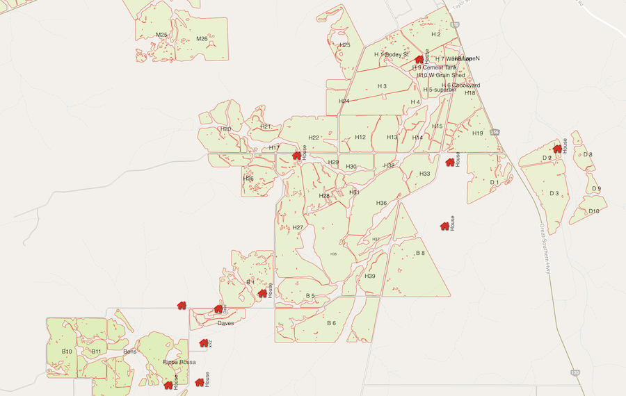
Build up a comprehensive map of your area, farm, irrigation layout, whatever.
Measure lengths and areas. Calculate the cost of a new project using the handy Statistics For Layer Group feature.
Pan to an Address, Create a Point at a Location… and more handy features.
gpMapper features a full suite of objects that you can add to your map, including Circles, Polygons (or “areas” or “regions”), Lines, Points, Symbols and Text.
A huge selection of 120 Map Symbols is available for use as markers
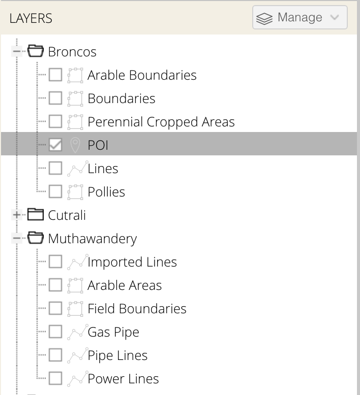
MAP LAYERS
LAYERS & LAYER MANAGEMENT
Add and manage unlimited Layers
Group layers into an infinite number of Layer Groups
Merge Layer contents
Duplicate Layers
Set individual Layer visibility
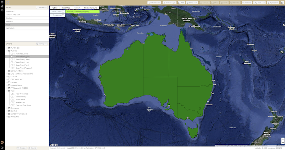
MAP VIEWS
Working with maps is all about locating yourself somewhere and looking at the data. With one click gpMapper will get you exactly where you want to be.
gpMapper utilises a ‘View’ system. Position yourself at the right spot for a map, with only the layers you want visible selected? Save it as a view. Simple. You can have as many views as you want. Skip from Sydney to Seattle, Tasmania to Western Australia, Canada to Mexico with a single mouse click. gpMapper knows exactly what data to load to display the view you selected.
DATA MANAGEMENT
If you’ve used a mapping system before, you know all about loading and saving individual map files. gpMapper bypasses all that by using a live database to store data. This means that all you have to do is tell gpMapper what area of the world you want to look at, and gpMapper automatically loads any data within that area for you.
MULTI LANGUAGE
- English
- Spanish
- Portuguese
FREE 7 DAY TRIAL
gpMapper is in the “cloud”. No software to install. Just sign up and get started
If within 7 days you are not sure if gpMapper is a good match for you we’ll cancel your trial for you.
Start your trial now…